
The Best Early Spring Hikes in Pagosa Springs
While you wait for high country snows to melt, enjoy these treks closer to downtown.
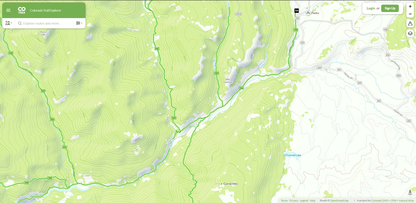
For the best hiking experience in Pagosa Country, we recommend grabbing Colorado Trails Explorer from your app store of choice. Created by the state of Colorado, it's a fantastic, free app. It has all of our local trails, allows trail reports, and download of maps for offline use.
Check it out for iOS | Check it out for Android
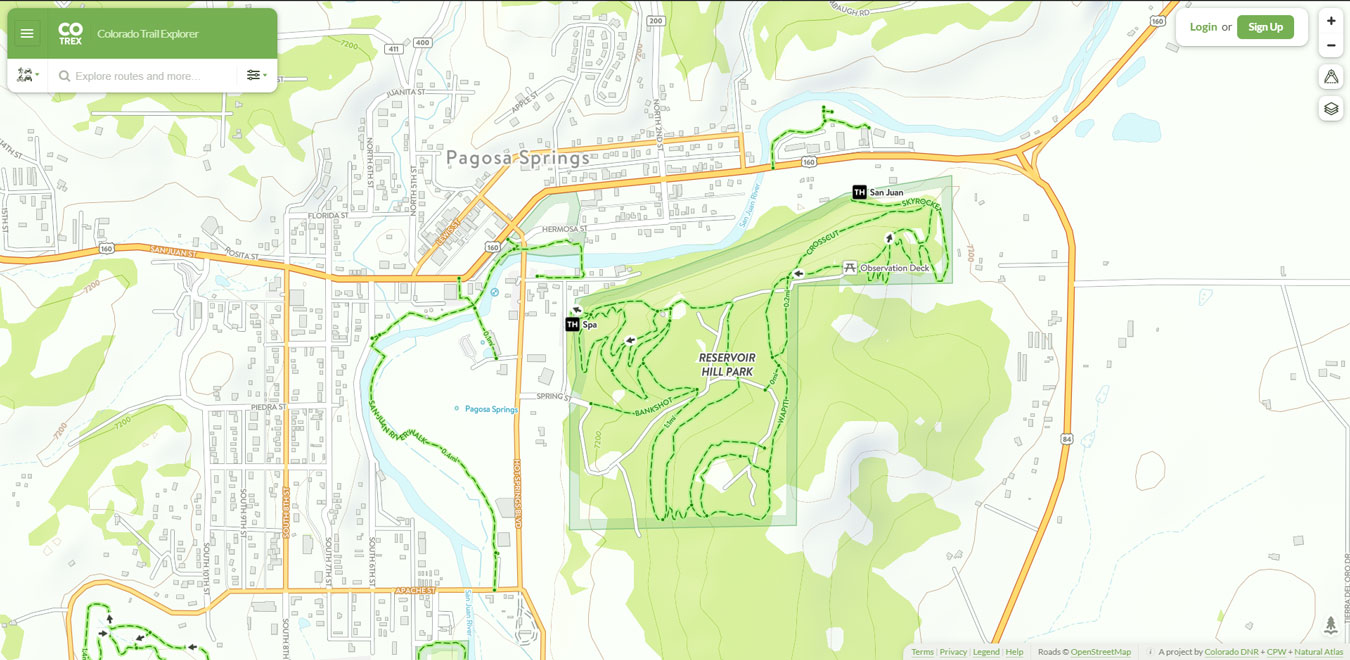
Reservoir Hill
With access points off of Hot Springs Blvd and behind the San Juan Motel, Reservoir Hill is an outdoor treasure. Locals and visitors alike enjoy hiking, mountain biking, snow shoeing, and cross country skiing on the many trails traversing the hill.
Reservoir Hill is also home to an 18-hole, disc golf course. From Main Street, turn left off Hot Springs Blvd at Spring Street, just past the Post Office. Park at the gate and walk up the access road to hole 1.
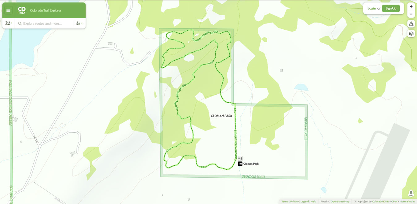
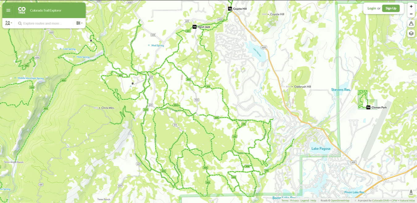
Cloman Park
Cloman Park is an open space park northwest of downtown Pagosa Springs off of Piedra Road and Cloman Blvd. It features an 18-hole disc golf course, hiking and biking trails.
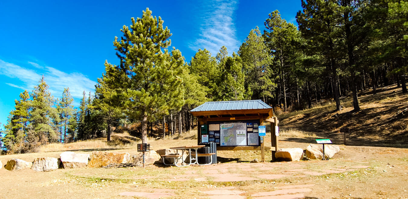
Turkey Springs Trails
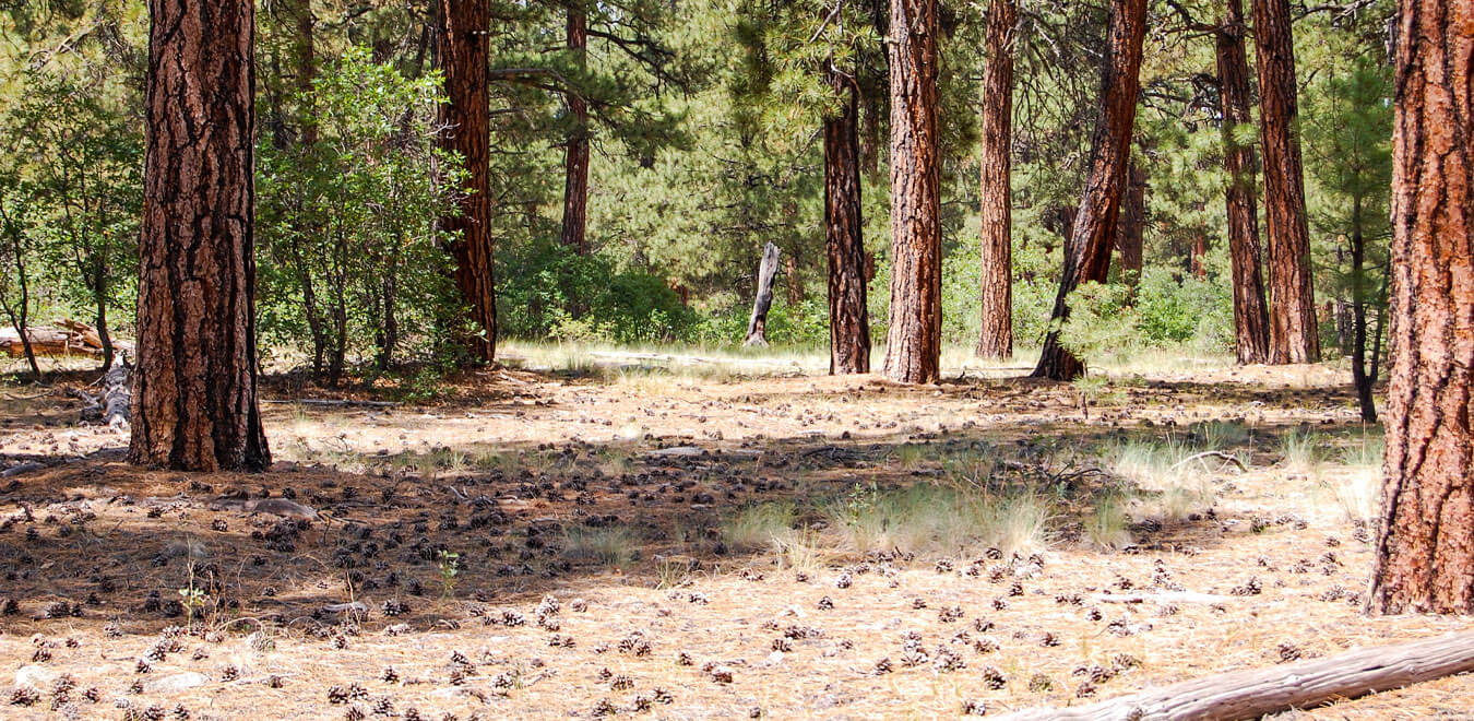
The Turkey Springs area offers National Forest access just a short distance from town. The multi-use area provides several forms of recreation including camping, hiking, mountain biking, horseback riding, 4-wheel driving, hunting and winter activities.
Most trails are suitable for novice to intermediate riding abilities, with the primary challenges being rocks, short steep pitches, and side slopes. Advanced users will find the relatively smooth, rolling terrain wonderful for extended rides.
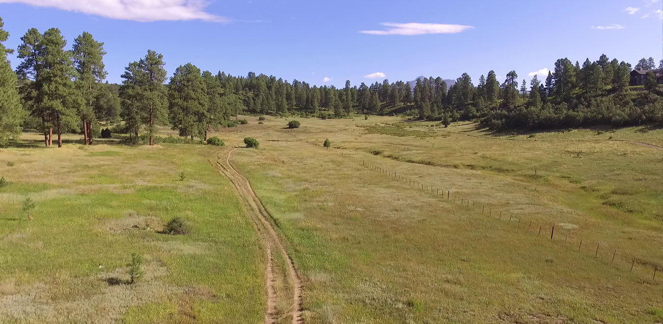
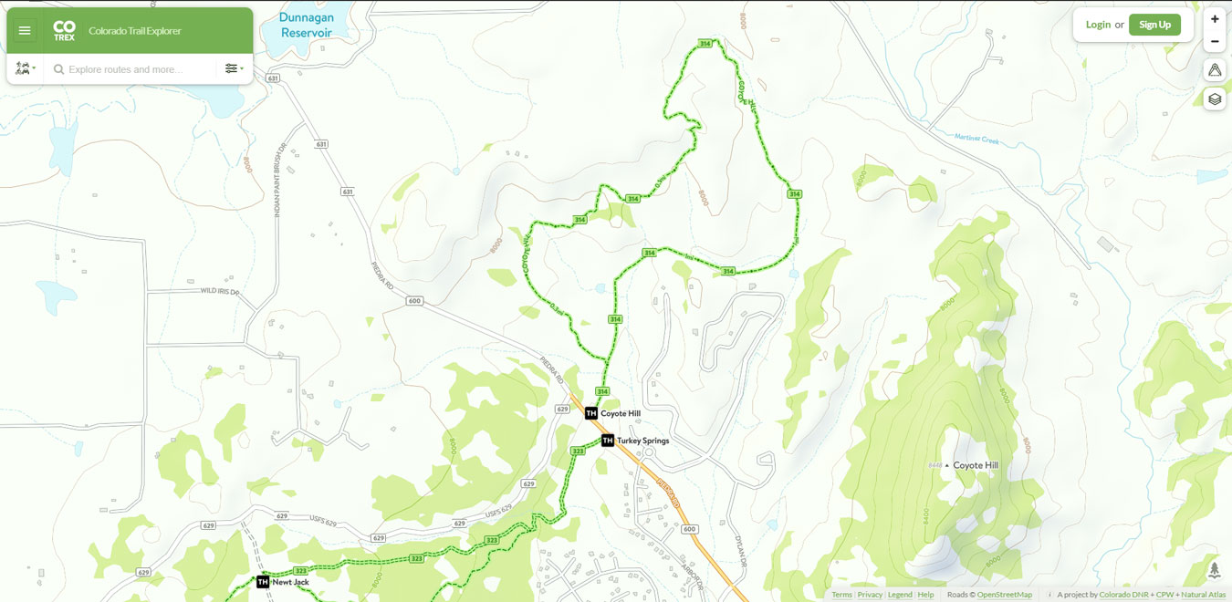
Coyote Hill Loop
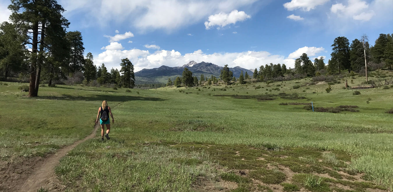
Coyote Hill is an easy, low elevation loop trail with nice views of the San Juan Mountains and Pagosa Peak. Easily accessible from paved, Piedra Rd. the trail can be done clockwise or counterclockwise from the junction of the loop intersection located at approximately 0.17 miles from the trailhead.
Piedra River Trail
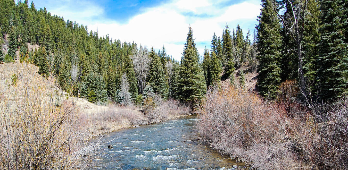
12 miles from trailhead to trailhead. An easy trail for all ages, just set the distance accordingly. From Piedra Road, the trail starts on the canyon rim and then descends to the river. Sheer cliffs rise on both sides for over several hundred yards. For a longer hike, a vehicle can be shuttled to the First Fork Road trail access.
.jpg)

Stay Social


Pagosa Springs Info

Activities, lodging, dining, shopping, and more. Start planning your vacation today!